
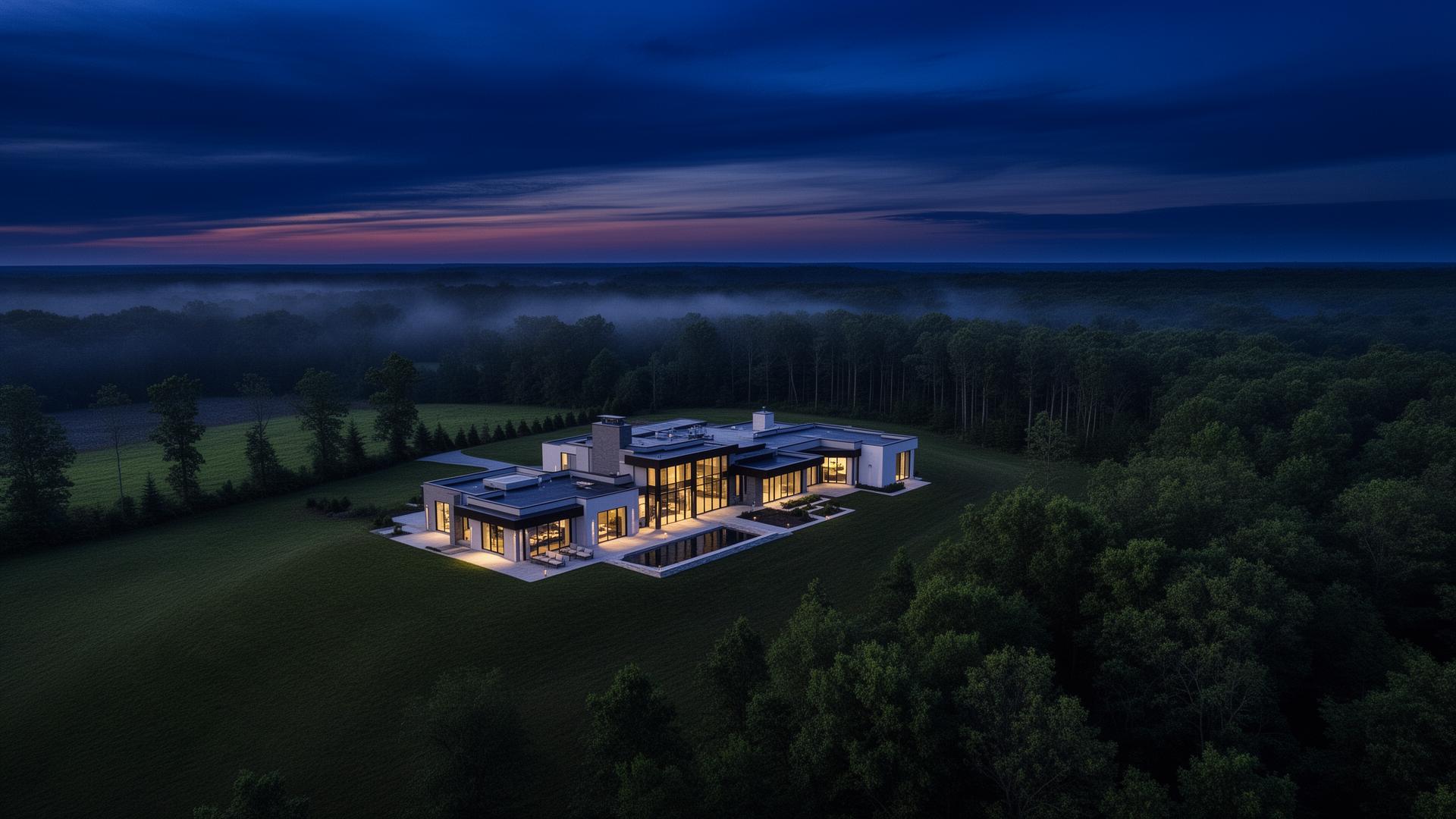
See your site
from above.
High-resolution aerial imagery and data solutions tailored for real estate and construction. Professional-grade visuals traditional photography can't capture.
Engineered
for clarity.
Seven service lines, each delivered with the precision of a flight log and the eye of a working engineer.
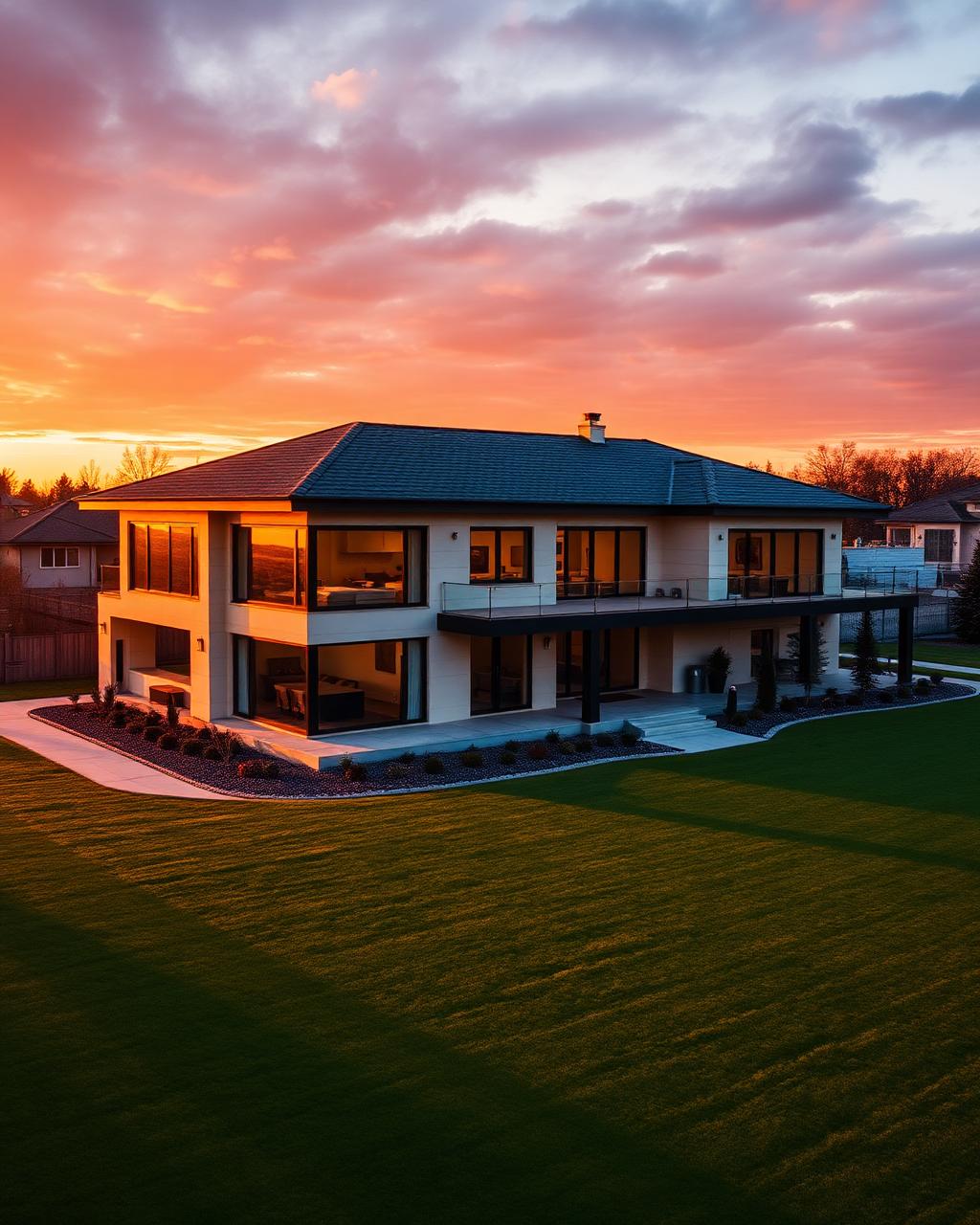
Real Estate Marketing
Cinematic aerials that sell properties faster.
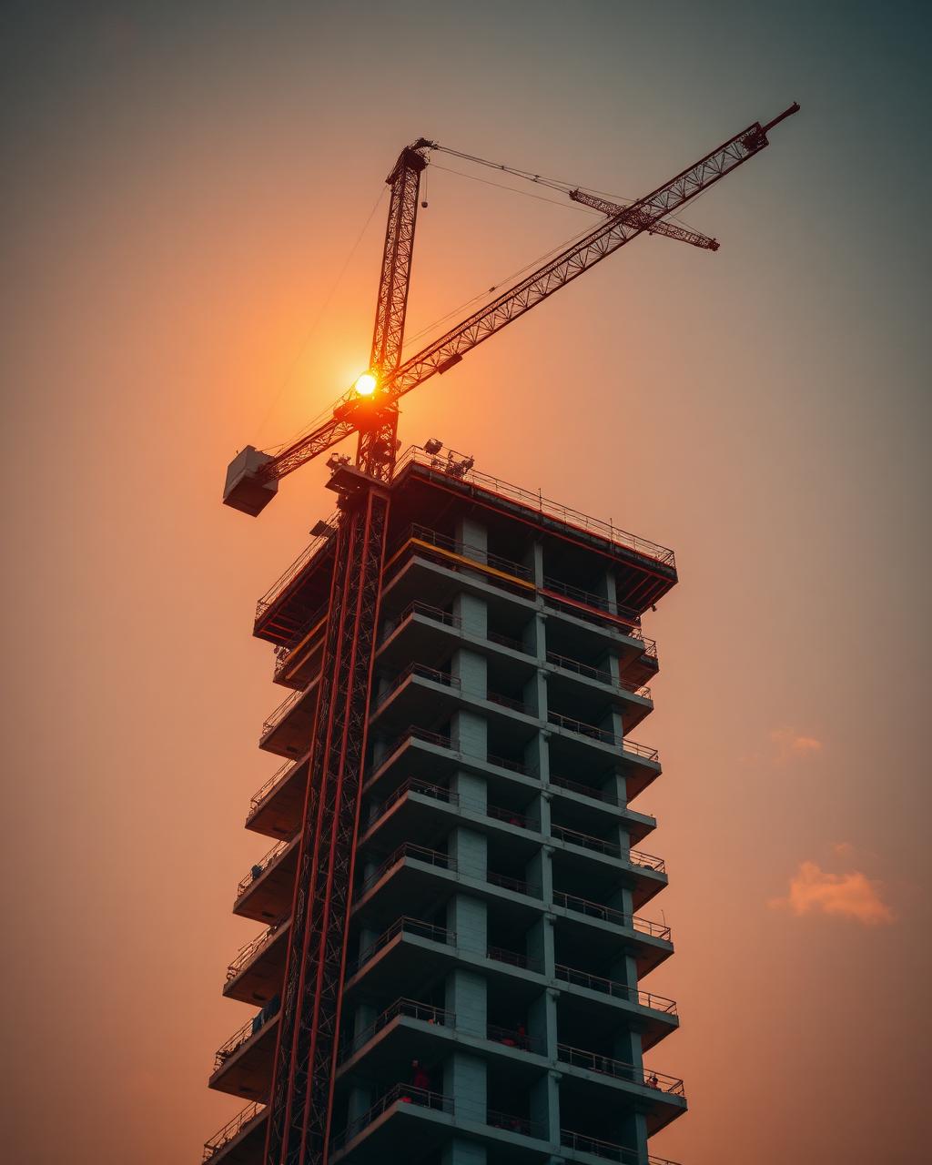
Construction Monitoring
Scheduled surveys documenting every milestone.
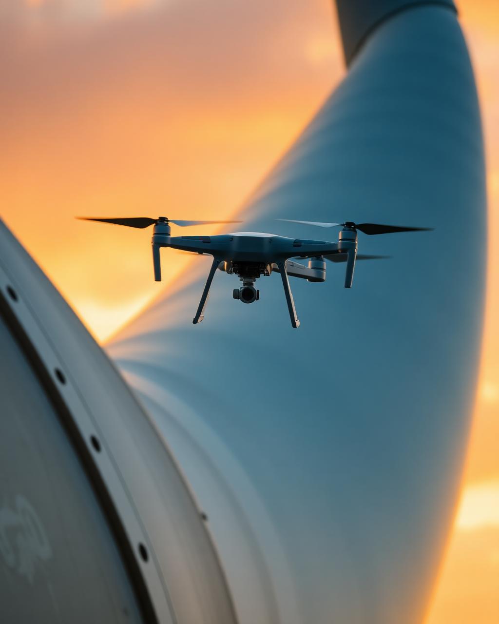
Asset Inspection
Vertical imaging without scaffolding or risk.

3D Modeling
Photogrammetric site models for design and planning.

Professional Editing
Color-graded video and retouched stills, ready to publish.

Cinematic Golf Course Tours
Sweeping aerial flyovers that showcase every hole in golden light.
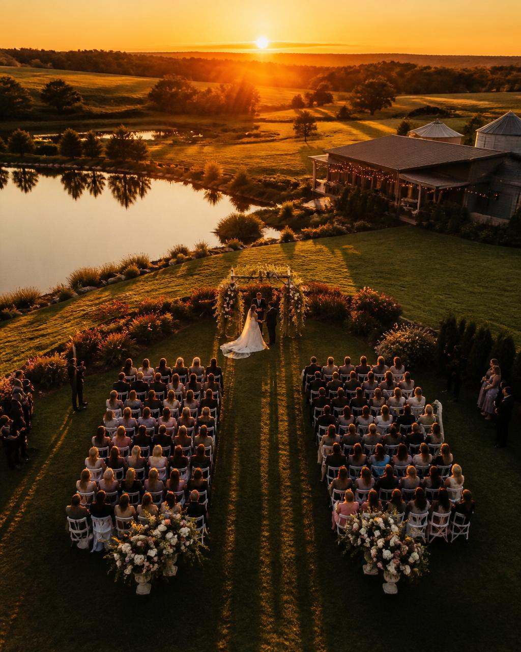
Aerial Wedding Photography
Breathtaking drone portraits and ceremony coverage from above.
A different altitude
of professionalism.
FAA Part 107 Certified
Fully licensed and compliant with all federal aviation regulations for commercial operations.
High-Fidelity Deliverables
RAW image files and high-bitrate video — maximum flexibility for post-processing and marketing.
Engineering Insight
An engineering background brings a technical eye to site analysis and land-use.
Ready to elevate
your perspective?
Tell us about your property, project, or asset. We'll send back a flight plan and quote within 24 hours.
Start a Project